Downloads: GPX File | KML File | Google Maps File | OS online route
About Macclesfield Forest | Parking Location | OS Map | Current Weather
It had been a while since we last got out! Between work and our home lives our walking suffered. We finally had a day off together where there wasn’t something we needed to get done so we got up early and headed off over to Macclesfield Forest, taking in shutlingsloe and following an alternative route to our last time here. We approach shutlingsloe from the opposite way and come back down into Macclefield forest taking in as much as possible.
We followed the reservoir back towards the pub and then headed off right up a short climb. Following this route would usually allow up into the forest shortly up the lane, however due to recent storm weather, this area was off limits due to fallen trees. We followed the lane from here and found a very steep climb, luckily underfoot was fine, but the climb was definitely a steep one. Half way up we grabbed a quick drink and then carried on. Towards the end of the climb there was a route off to the right that lead back down, however upon checking the map we decided that we would carry on and follow the lane to the top as at the top a route to the right would allow us to make this a more interesting circular and head over to shutlingsloe .
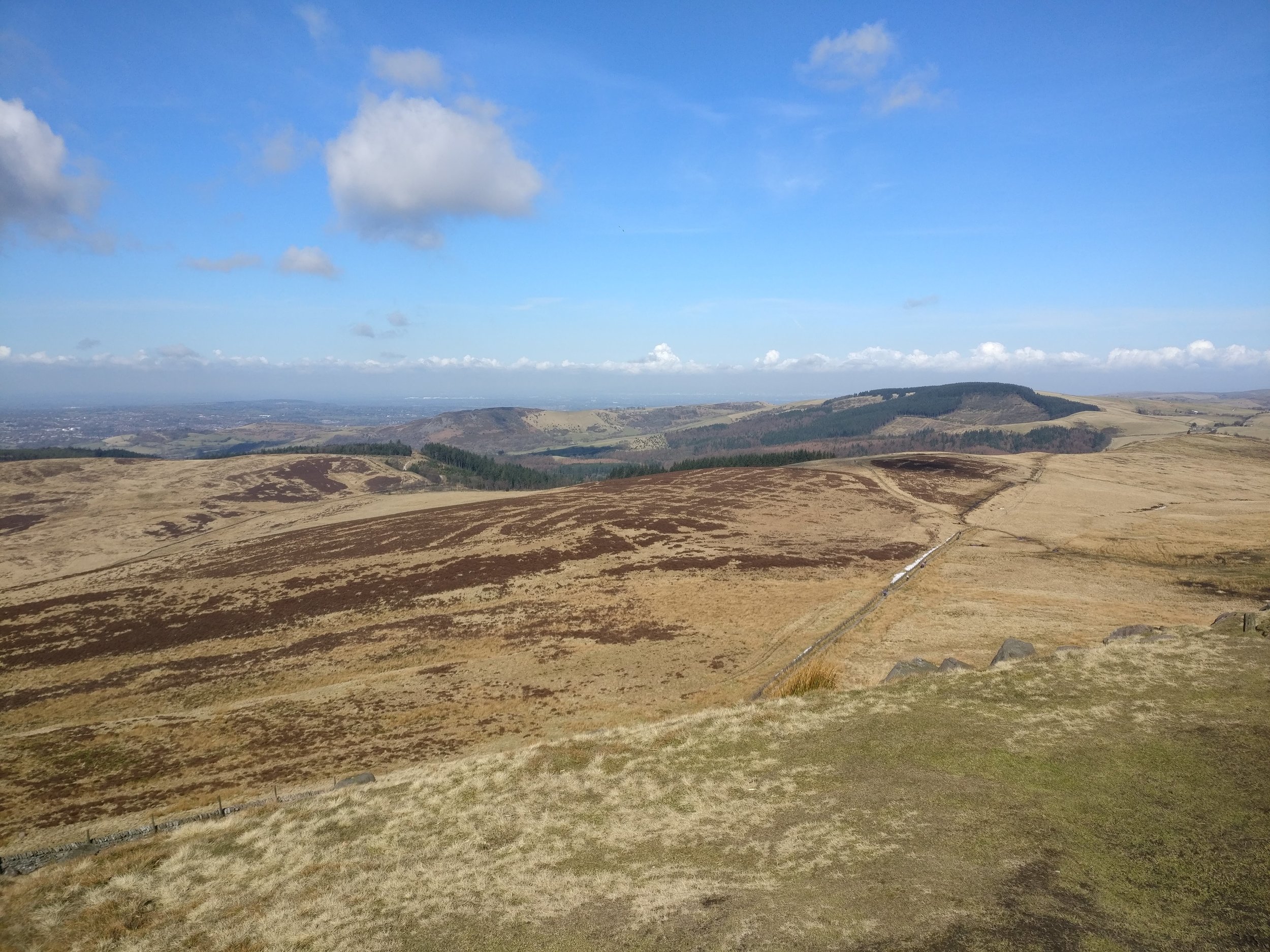
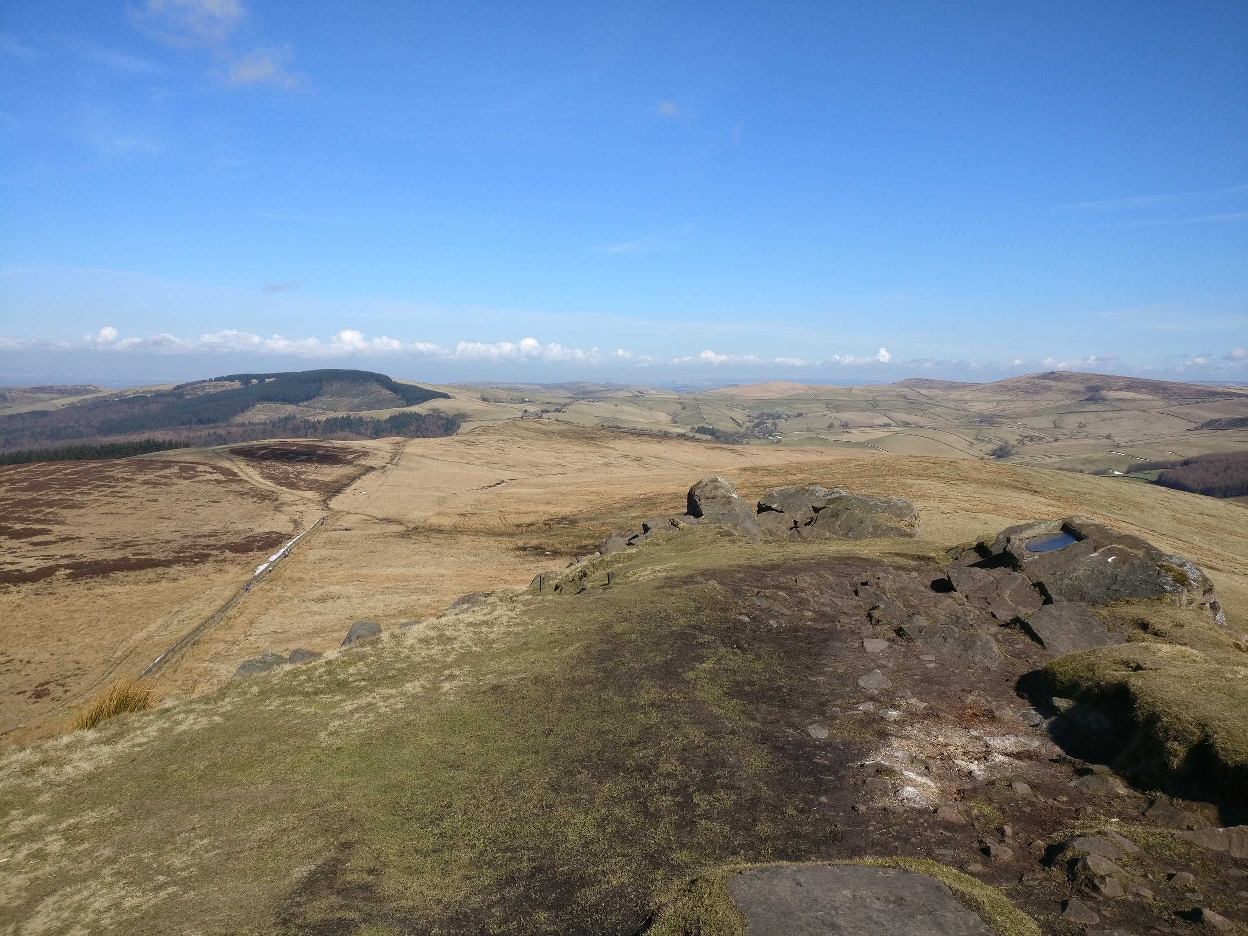
Following this across we passed by a lovely looking church and settled across the lane and eventually found the route to the left that takes us up to Suttingsloe. It's steady going here, some mud had made it into the path and plastic planks had been put down to stop you sinking in. Eventually we met with the main Shuttingsloe route and followed this up to the peak. Compared to last time (when it was too windy to stand!) it was much better, great views and the weather was stunning with clear sky and the sun beating down. We headed back down shutlingsloe , and headed off to the left following the main route.
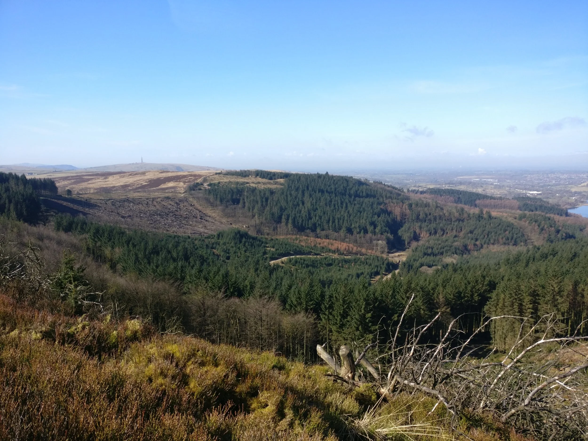
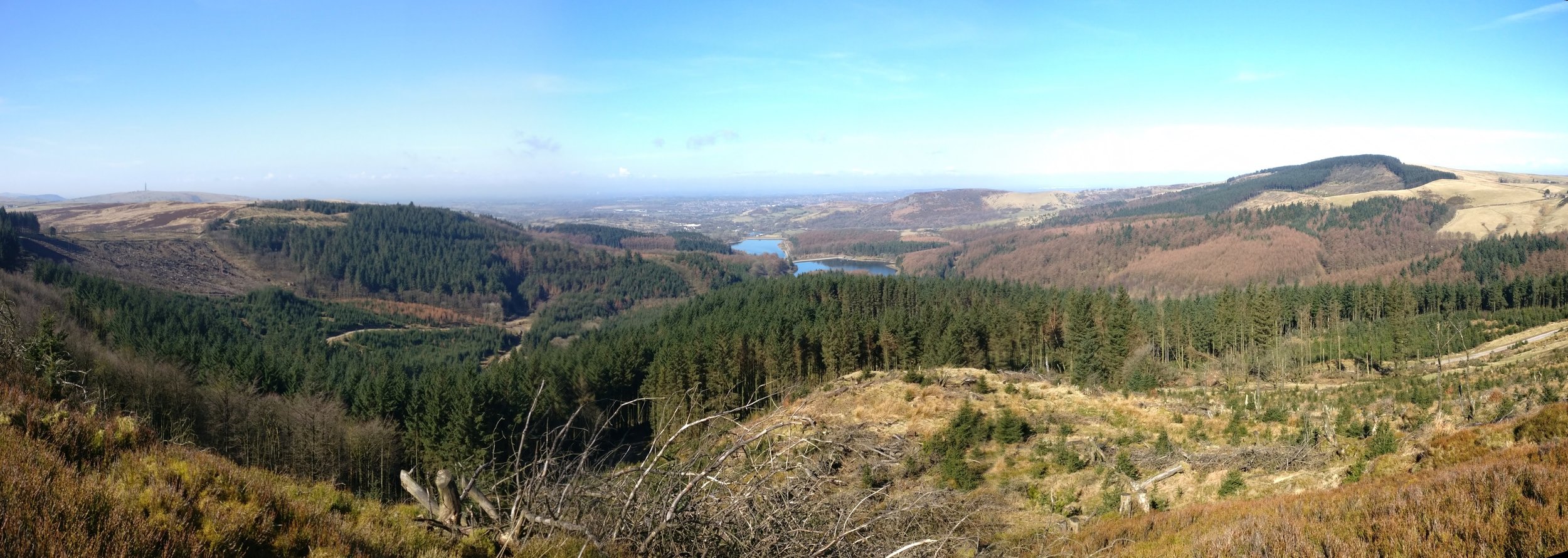
We headed into the forest, and just inside grabbed our lunch on a bench nearby. We then headed down the path and at the next fork took the left (again due to fallen trees the other routes were blocked), this lead up a small hill and then into deeper woodland. We followed the walk out to a beautiful viewpoint over the entire forest and then the rest of the walk follows through deep woodland all the way back down to the reservoir.
It's somewhere we have visited a few times now, but between the beautiful forest, fantastic highland and the views off the peak of shutlingsloemake this area one to return to time and time again.