
Map Shop
Welcome to our map shop, here you can view all of the maps we use in our walks with a link to purchase them direct with Ordinance Survey. This is not the definitive list, or even a "best of" this is the maps we use for the current walks we do. Our current walks are heavily weighted toward the Lake District and the Peak District and that is reflected below.

The Peak District - White peak area - OL24
OL24 covers the southern section of the Peak District, it's covers some of our best walks and has some of the best views in the peaks with Thors Cave. For anyone getting out in the Peaks this is a must.

The Peak District - Dark peak Area - OL1
OL1 covers the northern areas of the Peak District, some of the higher climbs can be found here such as Kinder Scout and Mam Tor. It's another great map to pick up and add to your collection.

English Lakes - North Western area - OL4
OL4 covers the north western fells of the Lake District. Some of the most distinctive fells are around here including Catbells, Haystacks and Skiddaw. Some fantastic lakes also fall into this map so it's an excellent all rounder.

English Lakes - South Western area - OL6
OL6 covers the south western fells of the Lake District. This is a favorite of ours as it includes our all time favorite fell in Coniston. Scarfell Pike is also on this map so it's a must have for 3 peak challengers.

English Lakes - South Eastern area - OL7
OL7 covers the south Eastern area of the Lake District. Kendal, Windermere and Ambleside all feature on this map so there is a great number of walks and places to stop over here.

English Lakes - North Eastern area - OL5
OL5 covers the north eastern are of the Lake District. Ullswater features centrally on this map which offers some excellent walks and waterfalls, but for any keen fell walker this is a must have due to the inclusion of Helvellyn, Britons number 1 walk.

Howgill Fells and Upper Eden Valley - OL19
OL19 covers the Howgill Fells and Upper Eden Valley. This was crucial when completing the Nine Standards walk.

Hadrians Wall - OL43
OL43 doesnt need much of an introduction as it covers a huge range across the middle of England to encompass Hadrians Wall.

Telford, Ironbridge & The Wrekin
OL242 covers Telford, Ironbridge and the Wrekin. There are some beautiful walks in this area and the map can be very handy when planning walks here.

Stoke On Trent & Newcastle Under Lyme - OL258
OL258 covers Stoke On Trent and Newcastle Under Lyme, two areas that are surrounded by huge amounts of countryside giving you lots of hilly walks.

The Long Mynd and Wenlock Edge - OL217
OL217 covers the Long Mynd and Wenlock Edge. This is the perfect handbook to take to the Long Mynd as there are so many routes you can follow.

Northwich and Delamere Forest - OL267
OL267 covers Northwhich and Delamere forest. The forest covers a huge area so this map can come in very handy when trying to find the best routes.


Derby - OL259
OL259 covers derby, but much like the Stoke on Trent map is has an abundance of countryside just south of the Peak District to explore.
LYME REGIS & BIRDPORT - OL116
OL116 covers the areas around Lyme Regis, including a large part of the Jurassic Coast and the Golden Cap
PURBECK & South Dorset - OL15
OL15 Covers a large section of the Jurassic coast, including the famous Durdle Door and the Isle or Portland
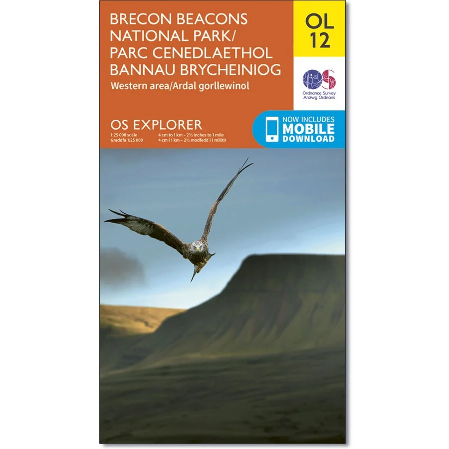


Brecon beacons national park - OL12
OL12 covers the majority of the Brecon Beacans including the highest point of Pen Y Fan.
Snowdonia - OL17
OL17 Covers the stunning area of Snowdon and the surrounding areas in the national park
Cannock Chase & Chasewater
OL244 covers the entire cannock chase, as well as the surrounding areas.
Want an alternative to buying physical maps? check out the fantastic OS Maps app. Subscribe below.