Downloads: GPX File | KML File | Google Maps File | OS online route
About Binsey | Parking Location | OS Map | Current Weather
As we were staying at the fantastic Keswick Lodge retreat we had seen that Binsey was literally across the road. Due to this, and the fact it wasn’t the biggest fell we decided to do this one a little later in the day, weather was still great and the long summer days had started to roll in so it seemed a perfect time to climb another wainwright.

We headed out the park and down the main road then immediately turned left onto an avenue of trees that seemed to lead all the way up to the foot of the fell. Crossing past 2 or 3 fields the route then takes a steady turn to the right and the incline begins, the trees here have disappeared and the landscape is a little bare.
Upon leaving the fields, it starts to feel much more like you are hitting a fell, a steeper route steers to the left and then heads back to the right taking you towards the peak. Although not the biggest climb, it is relatively steep (and probably felt more so after a day of walking) but it wasn't difficult and doesn’t take too long to reach the summit.
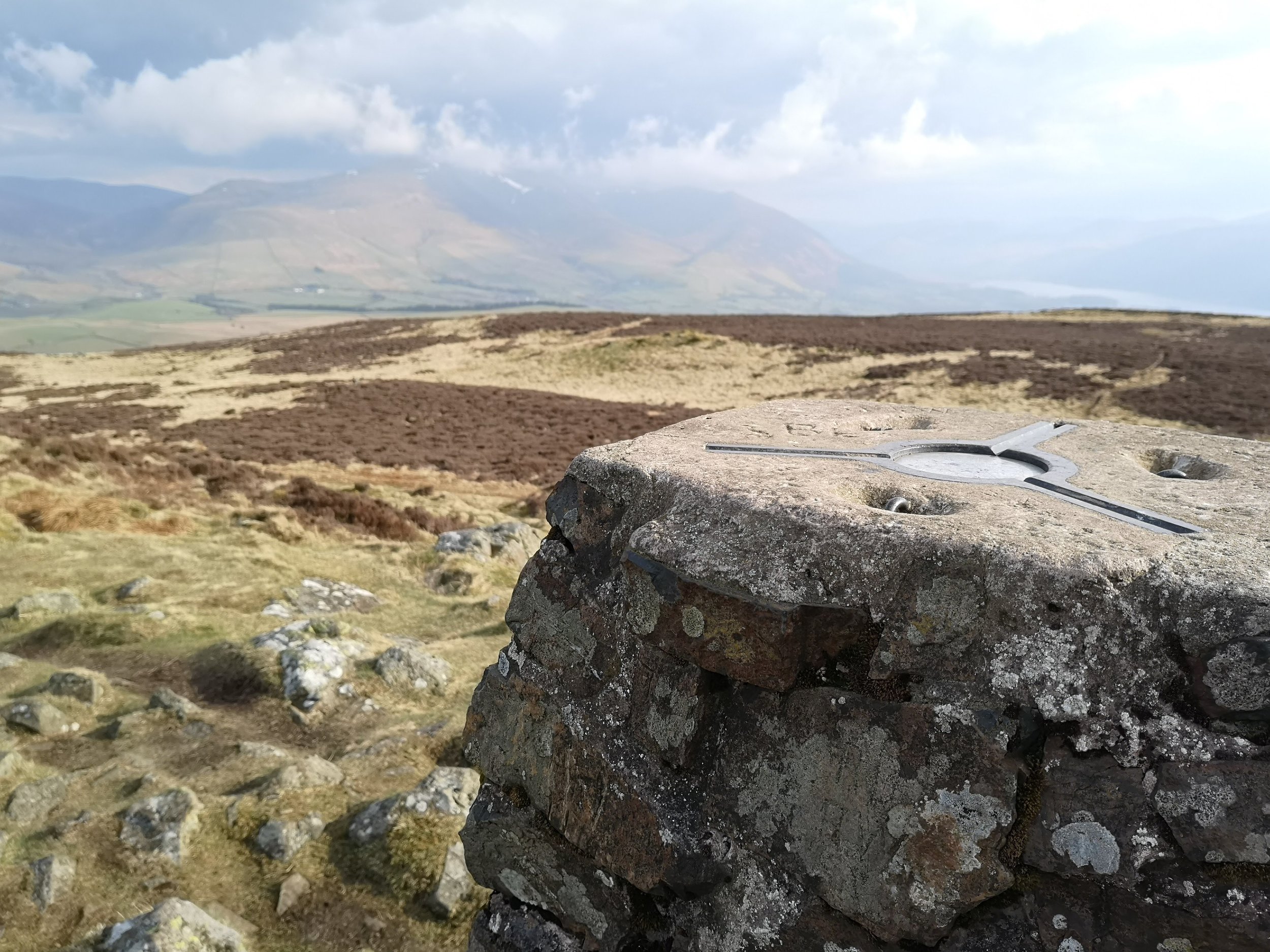
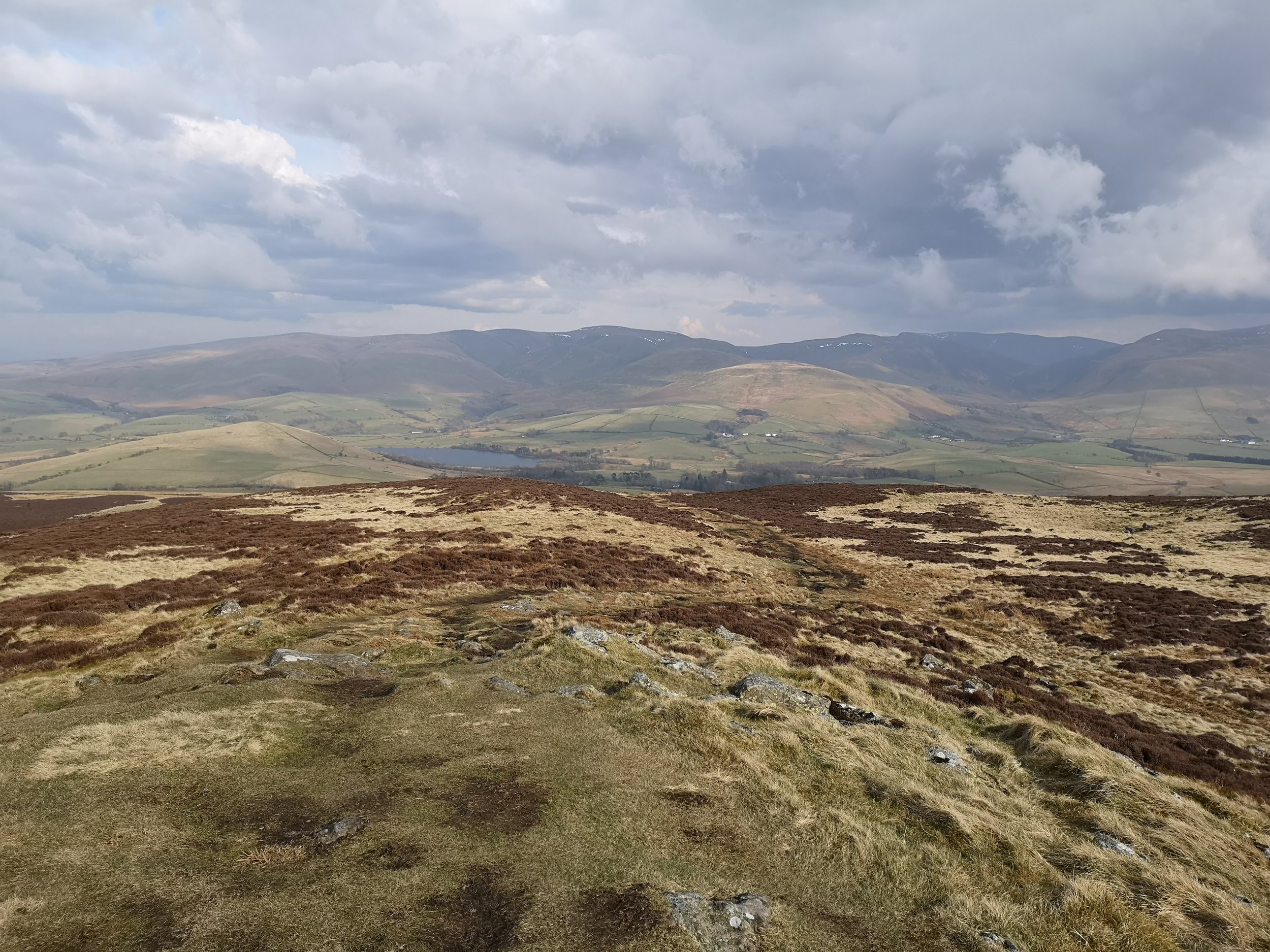
Once on the summit the views are just amazing however, you can see the full Skiddaw range across towards Keswick and looking north the view seems to go on for miles. We sat at the top for a good while just taking in the views, more so than on a few other peaks just thanks to the beauty and it's easy to see why Wainwright stretched this fell into his famous books.
The route back down that we took was the same as the way up, which didn’t give us any more interesting views than we had already seen, however there are options to go down the other side.
All in all, this was a great walk, it didn’t take all day and was easy to include in a day completing other walks and the views on a clear day are wonderful.