Downloads GPX File | KML File | Google Maps File | OS Online route
About The Wrekin | Parking Location | OS Map | Current Weather
We had been staying near the Shropshire hills and saw that the Wrekin wasn’t too far away, “round the Wrekin” is a saying we both grew up hearing so decided that we should go and fulfill the old saying. We had found that there was a very obvious path that led all the way around, however upon further investigation the views on top looked amazing so we decided to go one better and not just go around but also go over! Obviously, this would lead to a much longer hike but we felt it had to be done.
When we arrived, we found parking was awful, we had been advised that parking was poor however we managed to get here on the final of a local fellrunning competition. Eventually we had pretty much given up on parking and decided to move on and find another walk but not too far down the road we found another nature reserve that was empty so we pulled on here and decided to walk back to The Wrekin.

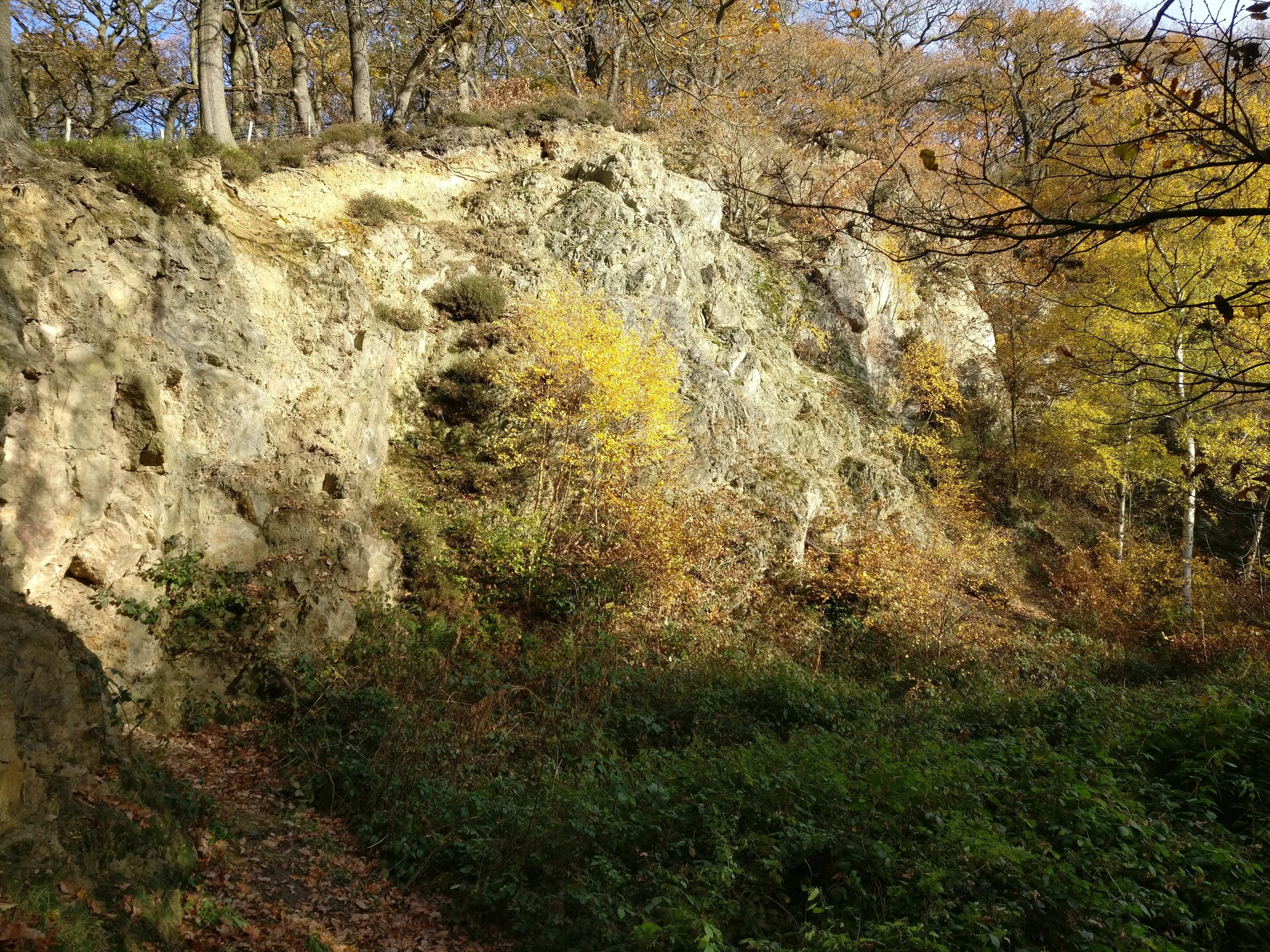
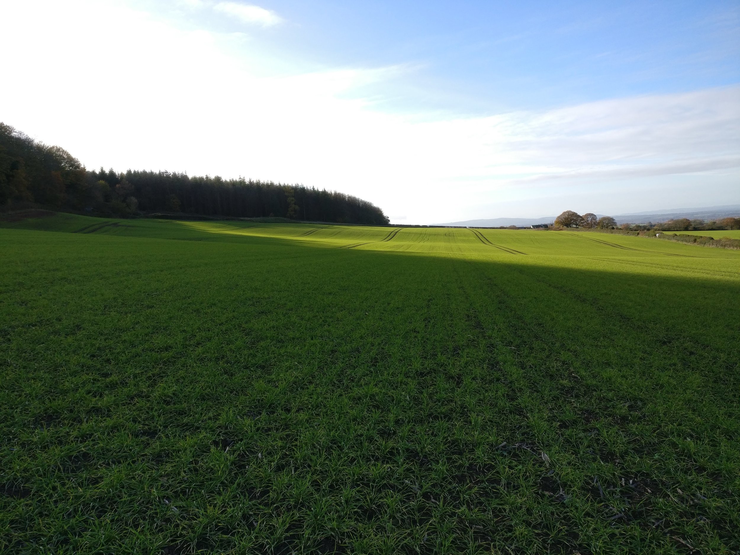
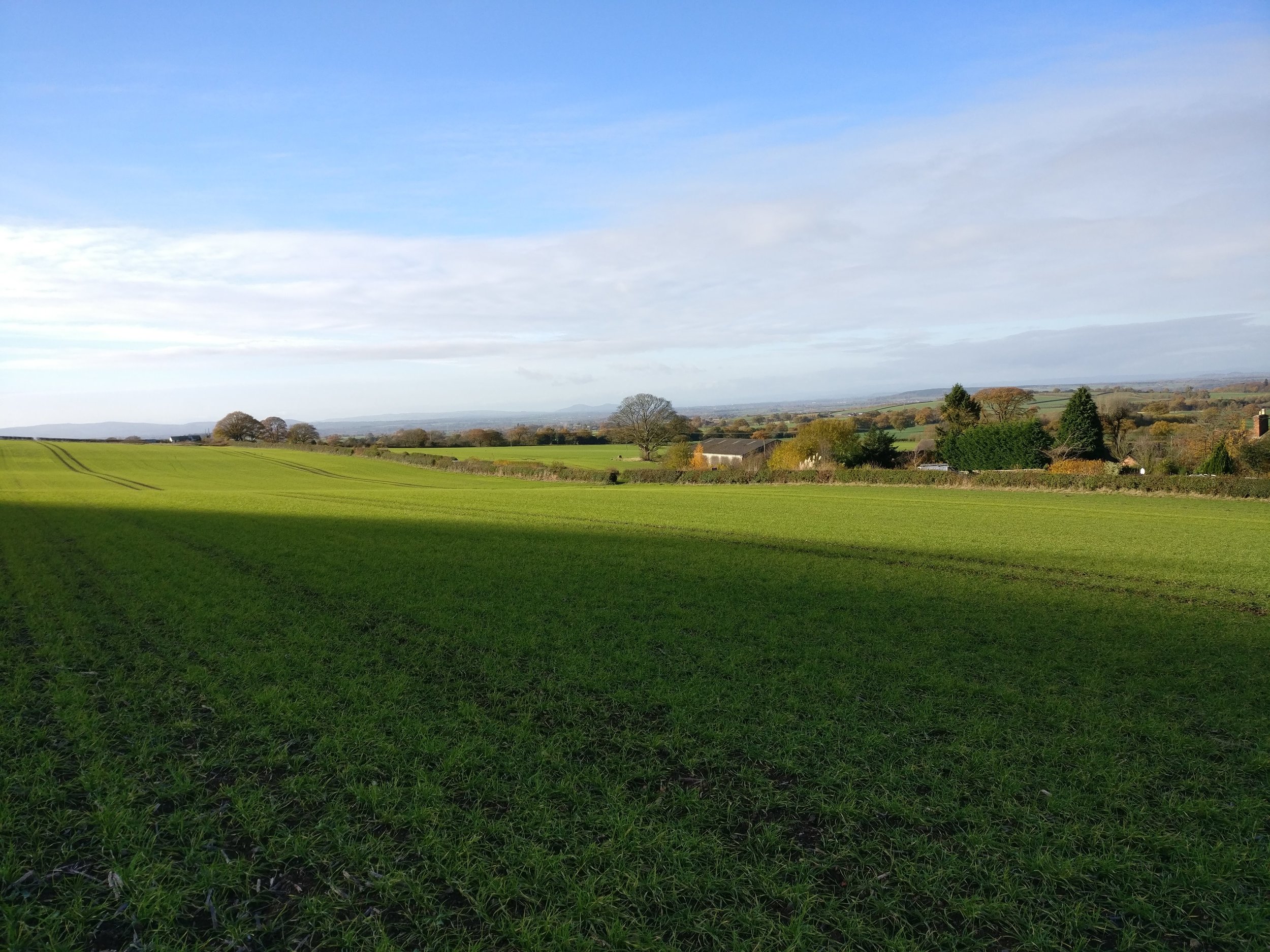
This nature reserve was absolutely amazing, there were a number of paths through the wooded area and it looked especially beautiful in the autumn with all the leaves scattered around. We made our way over to The Wrekin via the very fluid path through the park stopping occasionally to see some of the wonderful views. Once out of the nature reserve we entered a busy road, so as soon as possible we headed off to a small route which would see us miss a decent amount of road walking. Upon reaching the entrance to The Wrekin we realised that the fell runners were still going, deciding that we didn’t want to get in the way, we carried on up a little more a long a quieter road and entered a farmer’s field that had a right of way, across this we then entered The Wrekin and although the runners were still there, the numbers were much smaller so we headed onto the route. Going was quite easy, the paths were good and it wasn’t difficult to follow at all.
Upon reaching the half way point we had continued walking, however we had read that the route from the other side was a more tourist way up and this way up was much more of a hike. Therefore, we headed back to the half way point to make our assent but not before seeing a number of deer trotting through the forest up high.
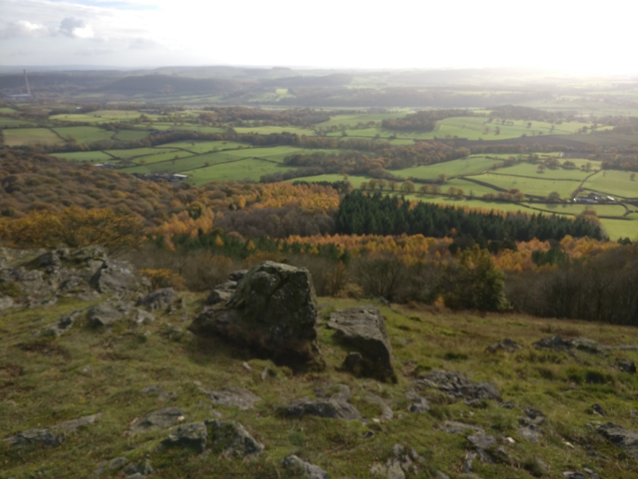
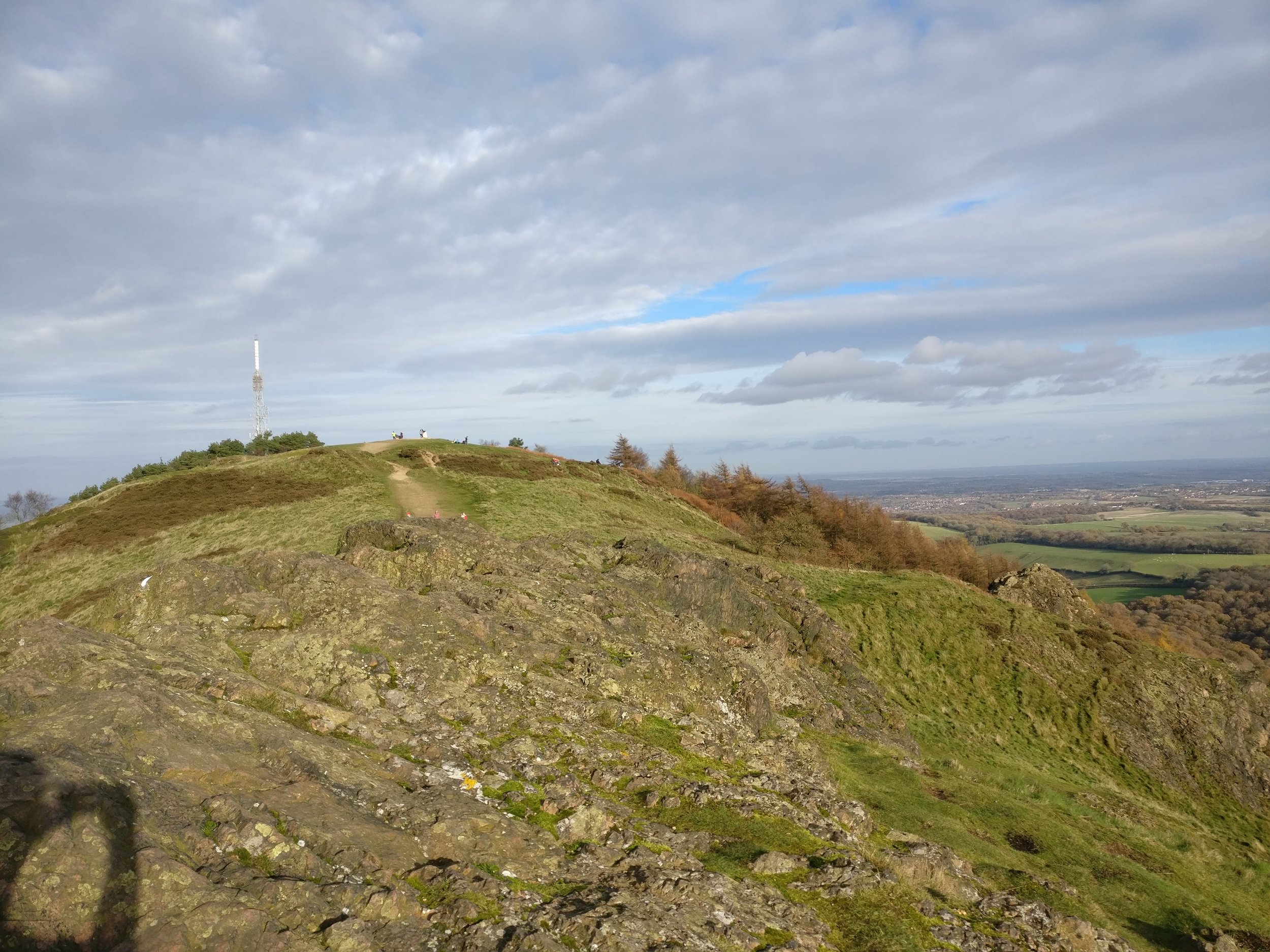
When we started the climb we realised that this was one of the steeped hikes we had undertaken that was just a slope, usually this type of incline would lead to steps being put in but there hadn’t here and for that it was actually really enjoyable, if not quite difficult. Upon reaching an area where the steepness settled the got a little rockier and you could see the surrounding forest all around. Approaching the top, we found a spot on some rocks to grab out lunch away from the crowds.
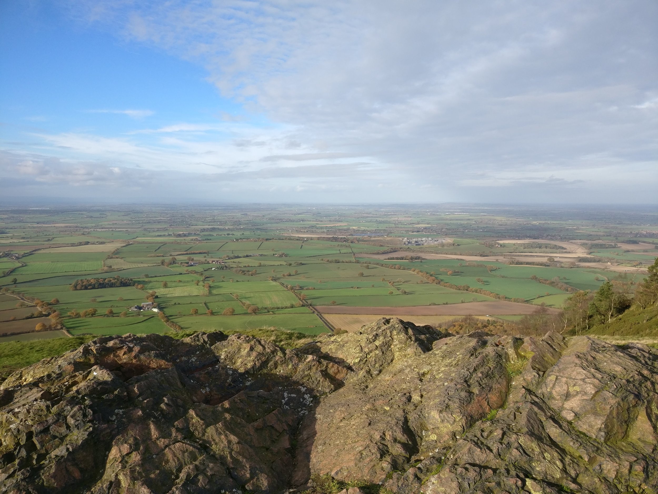
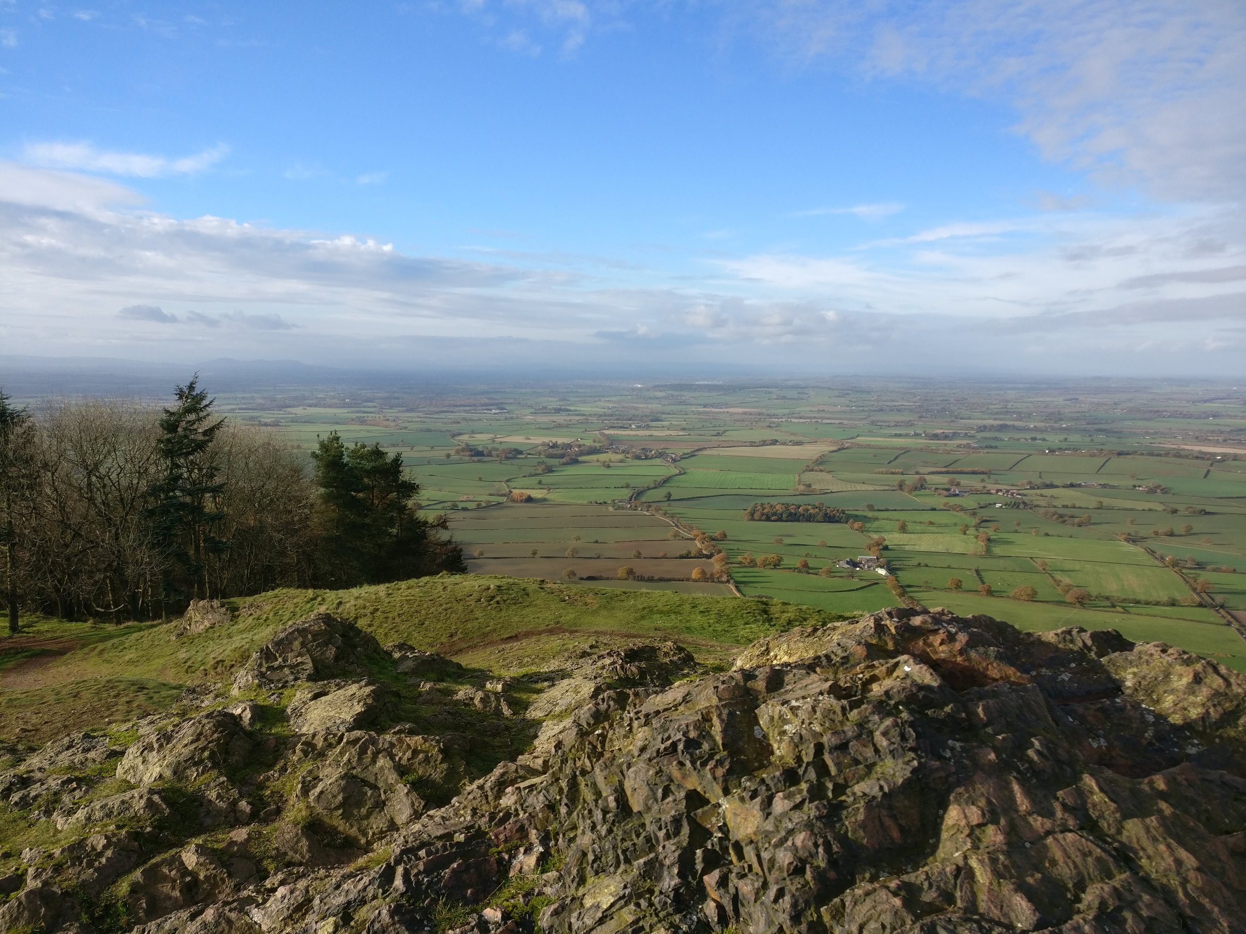
Once we continued moving upwards we soon hit the 400m peak, upon doing so we were granted the best views yet, both sides overlooking to close by forest and then the views extending hundreds of miles out both sides. It because very understandable why so many people chose this route each year. Following the route over the top lead us to a much wider, much more walked path that was obviously for people wanting to just get up and down, and due to this there were a number of people walking this route. We followed it down and then upon reaching the visitor centre we headed to the right and started our route back around to complete the full circle.
This side of the walk was through just as much woodland as the other side but was very quiet and we hardly saw anyone, we kept our eyes out for any more deer but were not so lucky again. The route was still continuing over a very obvious path and was easy to navigate and after some quick progress we happened to be back at the half way point of the Wrekin. As we had done the next bit of the route already, albeit in the opposite direction, we found the going very easy and soon gained some speed, continuing through the woodland and taking in the wonderful sounds of the birds and the light autumn air.
As we exited The Wrekin site we decided it had taken its toll a little, a total of 757m had been climbed today, and another 650m the previous day and we decided that rather than walk through the nature reserve back to the car, we would be carful and follow the road, however not to long down the road we saw a path in the nature reserve that ran parallel to the road, we hopped onto this and followed it back to the car.
All in all, it was a long walk with the total height the same as climbing high crag, but over 14km and a total of 4 hours walked. However, some of the best views we have seen were found here. The changing conditions of the walk made it fun and challenging, the views were spectacular and between the rocky top and the low woodland made this a wonderful walk.