Downloads: GPX File | KML File | Google Maps File | OS online route
About Derwent Water | About Catbells | Parking Location | OS Map | Current Weather
We had wanted to walk the entire of Derwent water for a while, but had been put off as we had been completing our Everest anywhere challenge and wanted height in as many walks as possible... something that a walk around a lake doesn’t tend to give you. However, with Catbells being right on the water, we decided we could park at Catbells and then climb the fell, before dropping down to the water and following the Cumbia way for a little and then heading off around the lake.
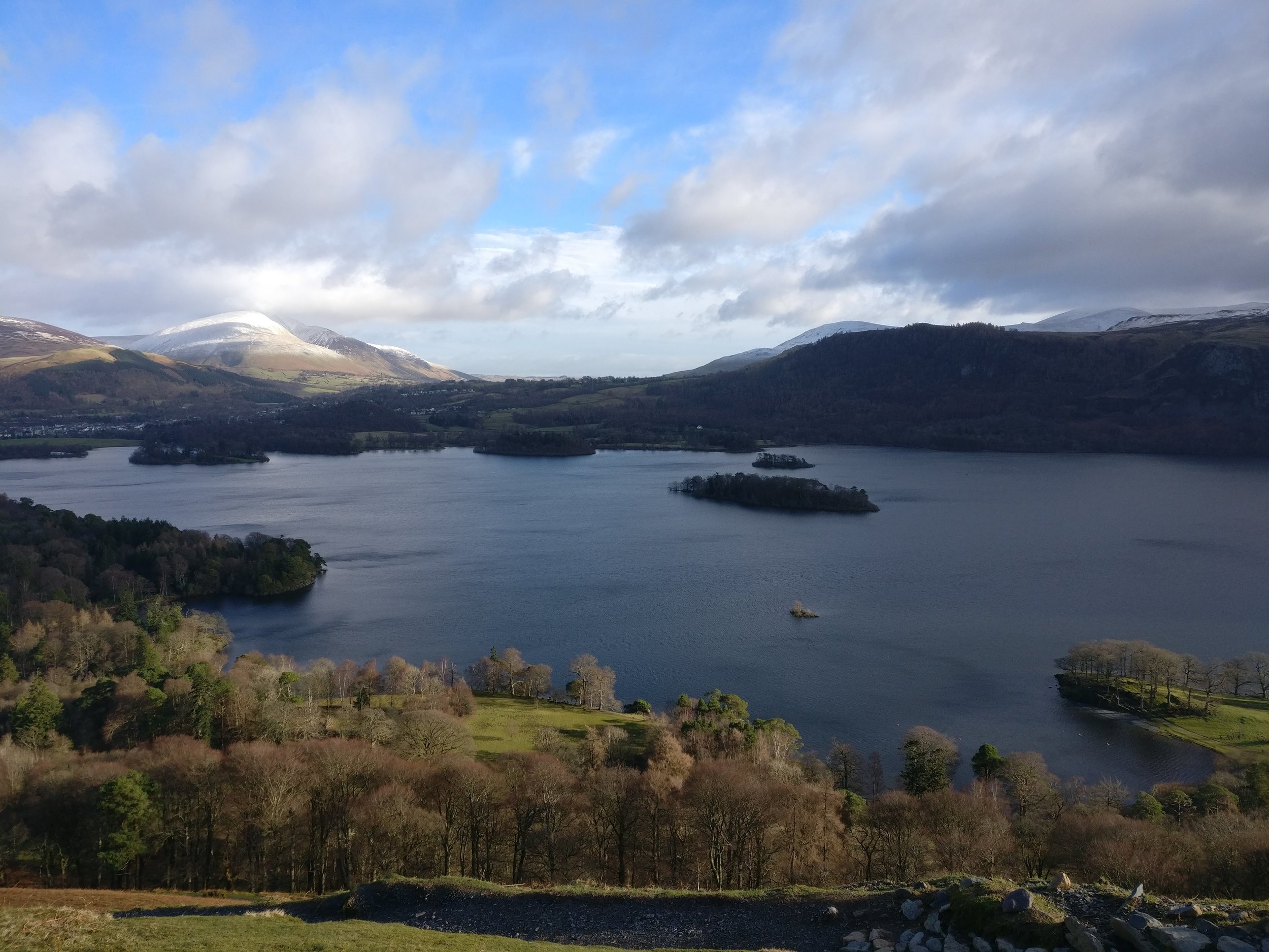
Once we had parked and were on our way up Catbells we quickly realized that not only was it becoming increasingly windy towards the top, but there was still some ice and snow up high. Due to this we decided to cut out the very top of the fell as it would have been a little dangerous and headed down towards the lake before the final climb to its summit. Once down on the Cumbia way the walk was on easy paths that were well maintained and we managed to get out onto the edge of the lake for a fantastic view back towards Skiddaw. Passing through Manesty park allowed a bit of cloud cover from the sun which was really warming the day.
Once out the other side of the park we were met with wooden walk ways keeping the path above the bog, these stretched out over the lake at points and eventually led to the river Derwent. This part of the walk was fantastic as you really felt like you were walking above the lake at points. Passing over the large bridge at Derwent water was also really good and gave fantastic views up and down the valley.
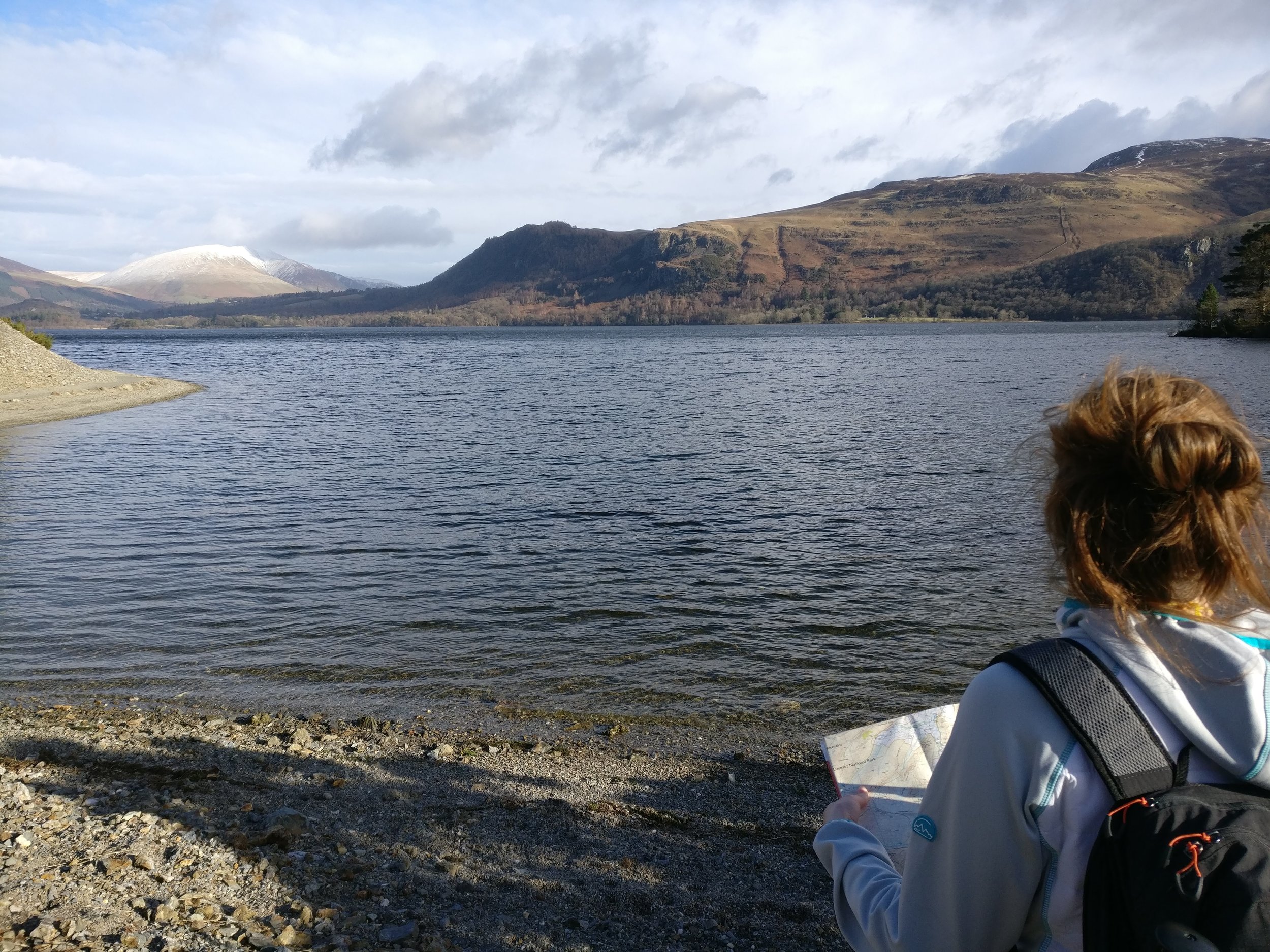
Upon starting the walk north up the lake, we had to walk on the side of the road for a short while, before then joining another path which took us away from the road and through some woodland. Once we passed Kettlewell National trust car park we crossed over the road and headed back out towards the lake. Once again, we were met with spectacular views, this time of Catbells and part of the route we had walked opposite where we stood. With water lapping at the side of the lake and birds tweeting away it really did give off a peaceful aurora.
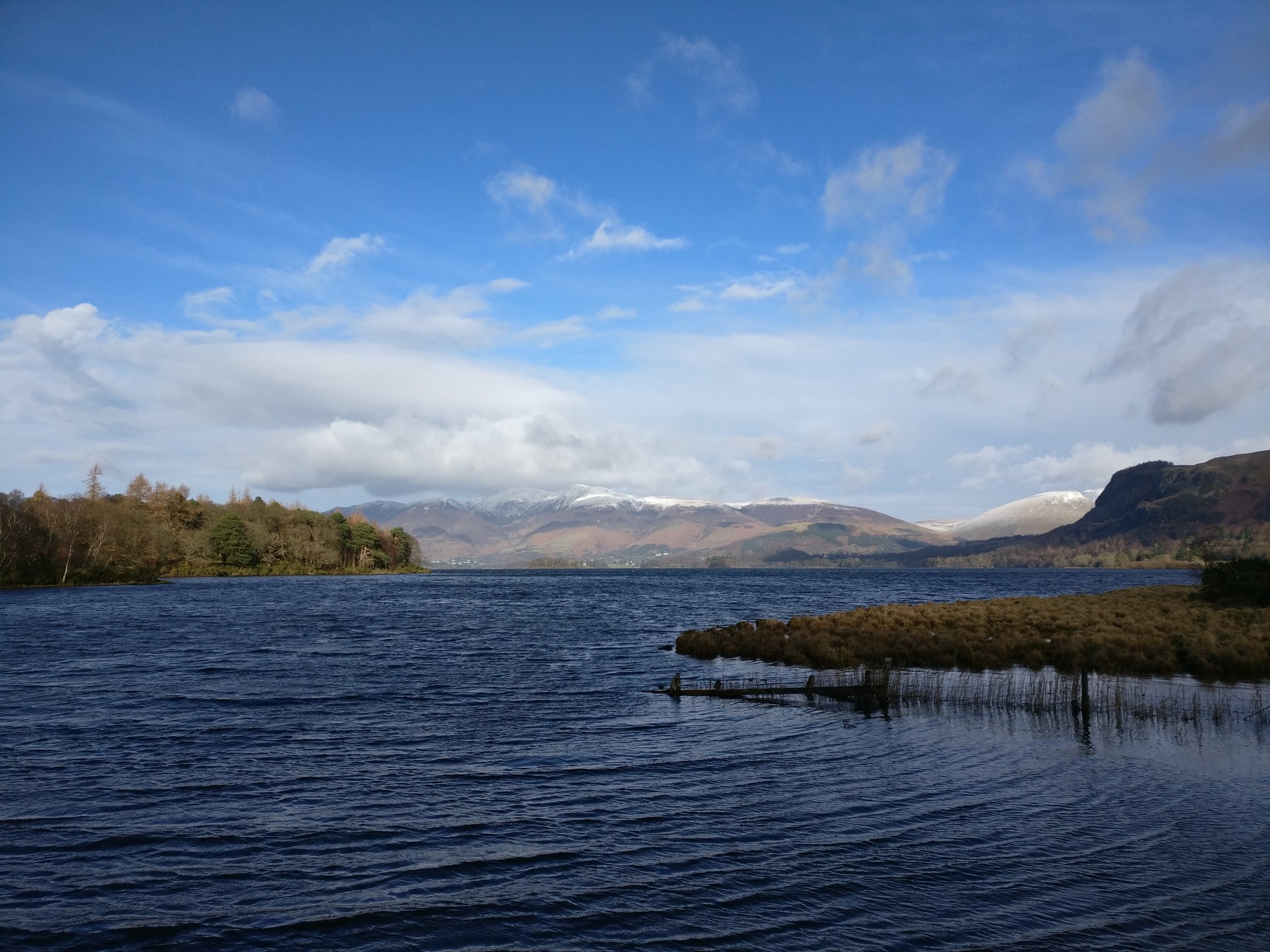
Further up the trail we found Calfclose bay where we stopped and grabbed a bite to eat and a drink, we were met by a few very friendly birds trying to get a feed and when we had finished our lunch we fed them and moved on further up the lake. Following the bay around we managed to find another place to sit looking out at Rampsholme Island, as well as the bottom end of the lake in view. At this point it became very clear that it didn’t matter where you stood on the lake, the views were fantastic.
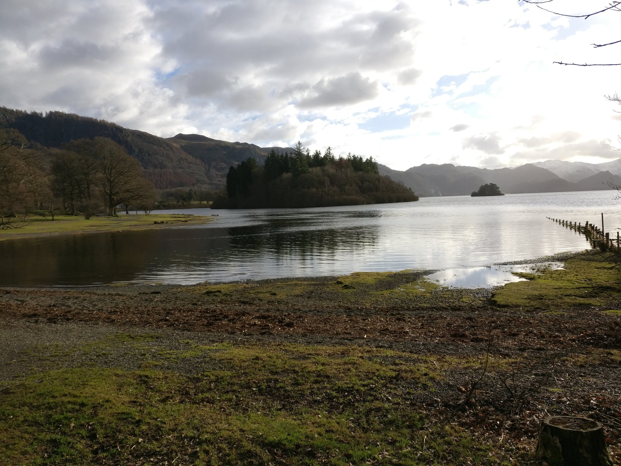
The route then follows the shoreline up towards Lords island where it takes a route through some more woodland that is very picturesque and when you come out of this woodland you are met with a view of Derwent Isle, yet another little island sat on the lake. After this you start the walk into Keswick and past the Theatre by the lake, up into the main town. There are routes away from this, but we decided popping into a shop and grabbing a snack would be good.
Once out the other side of Keswick we walked over a long path, fenced either side through a farmer's field, this leads on to portinscale and then onto Derwent water marina. Once past these however we went back into the woodland next to copperheap bay. These are really nice wooded walks and are very well marked. Once through these woods it's a little walk up towards the Catbells car park for an end to a really interesting walk with some fantastic views.