Downloads: GPX File | KML File | Google Maps File | OS Online route
About Cat Bells | About Maiden Moor | About High Spy
Parking Location | OS Map | Current Weather
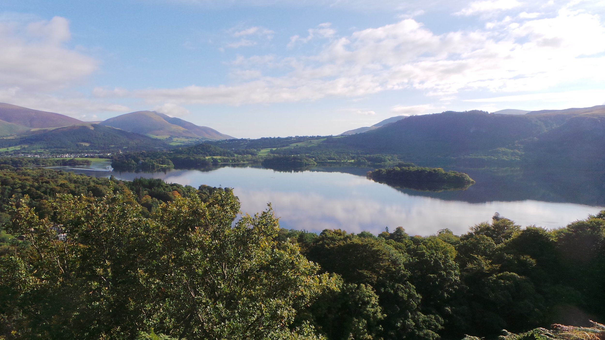
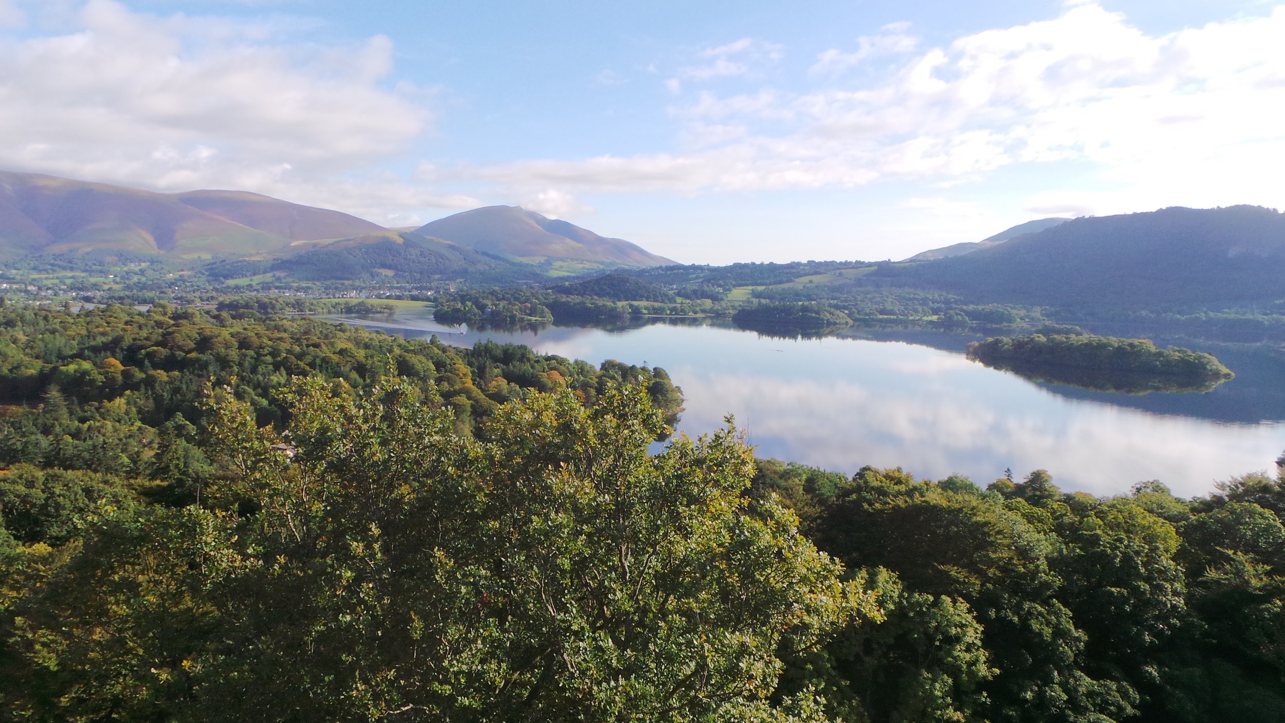
Catbells is somewhere that Ray had seen a few times online and every time the photos looked stunning and everyone you speak to advises how it’s one of the more beautiful walks in the Lake District. We decided to take on this on the best day of our holiday purely for the views, we then decided to turn this into a much longer walk than Catbells itself. We arrived on a fantastic day and managed to secure a space on the free car park just down from the start of our walk.
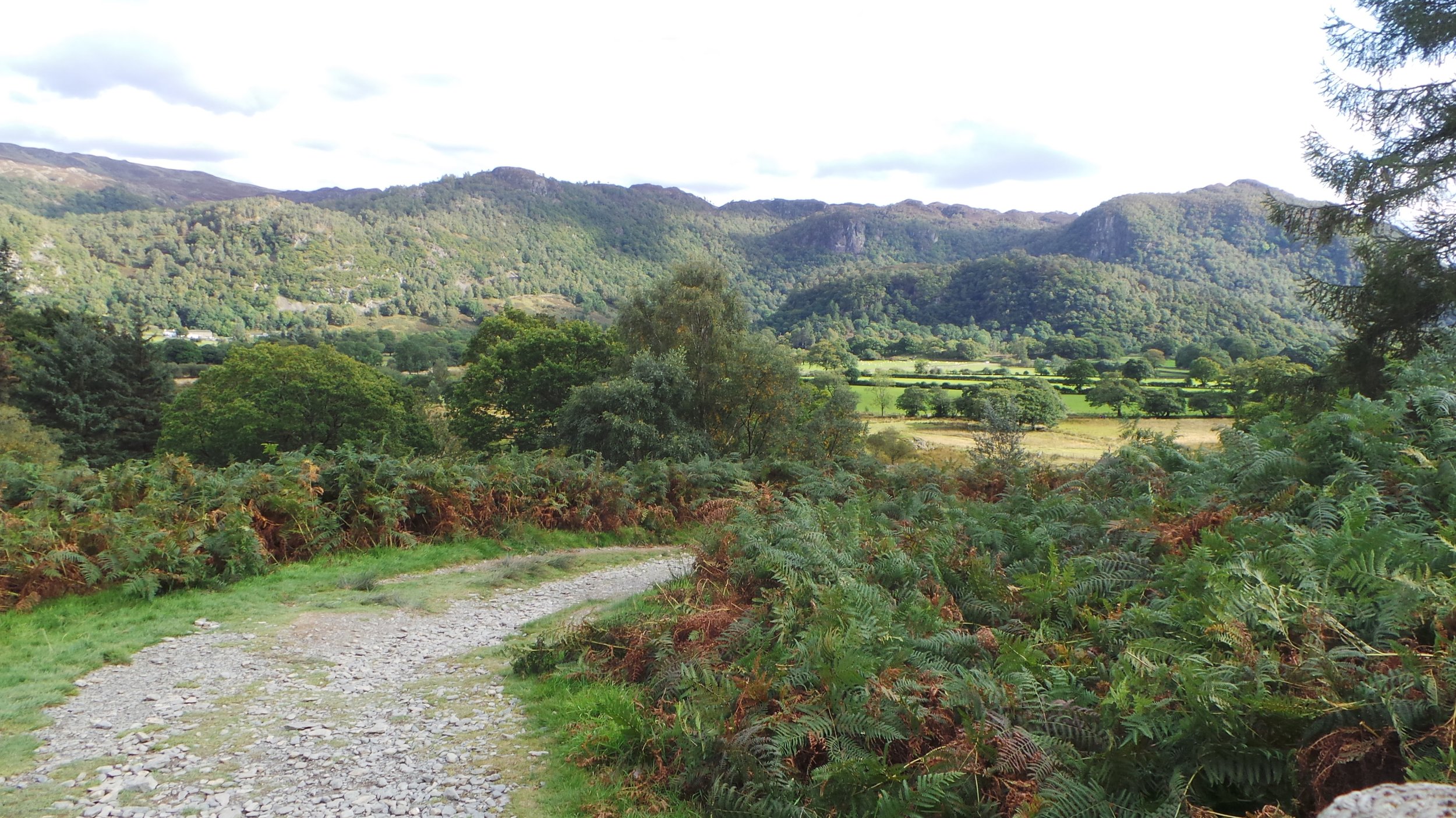
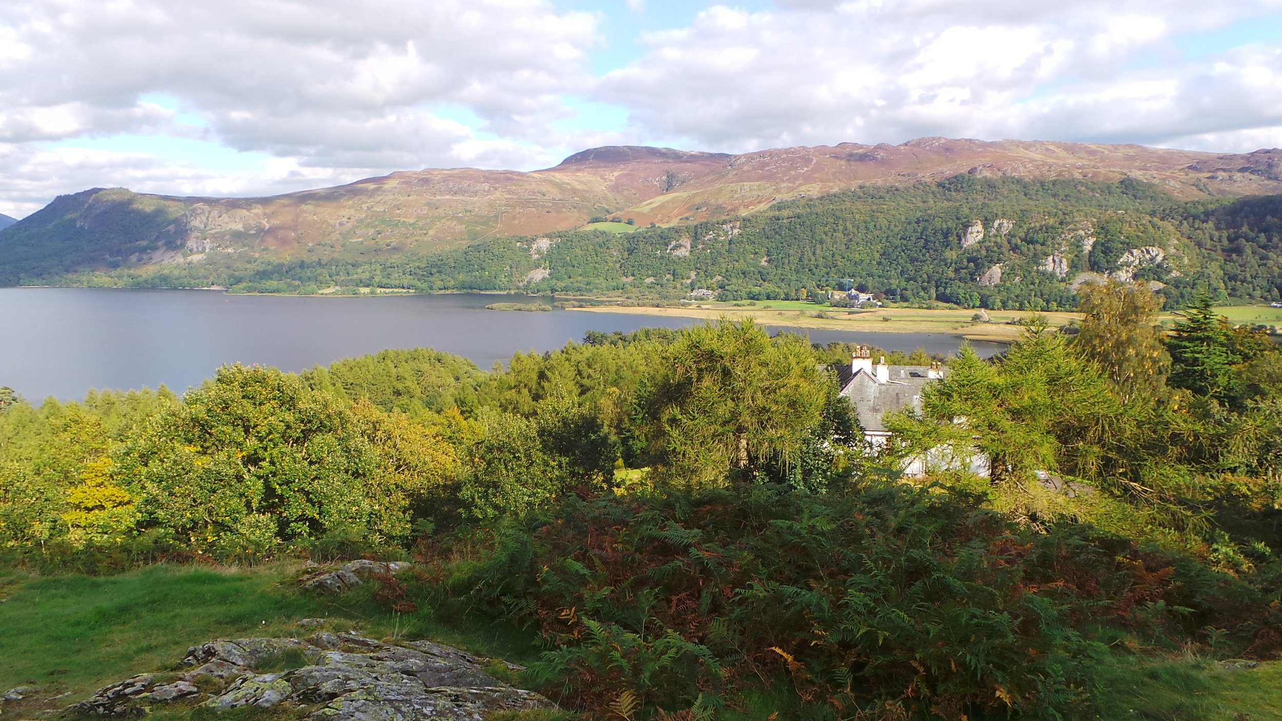
The start to the route is over some steep steps that allowed us to gain height rather quickly, and every time you look back you just get an amazing postcard view. Once you get past the steps, the steepness moves to a softer gradient, following the quite obvious path along take you to another steep bit, at this point there involved a small amount of scrambling but there wasn’t anything too hard.Again after the scramble to path smooths out and a rather easy walk takes you to the foot of Catbells. The terrain again moves to scrambling but once again this is pretty easy going and you will soon reach the top where you will find a summit marker, however the reason to be at the top is surely for the views. Whichever way you look is stunning, and we spent a good deal of time here looking around and just taking in the views.
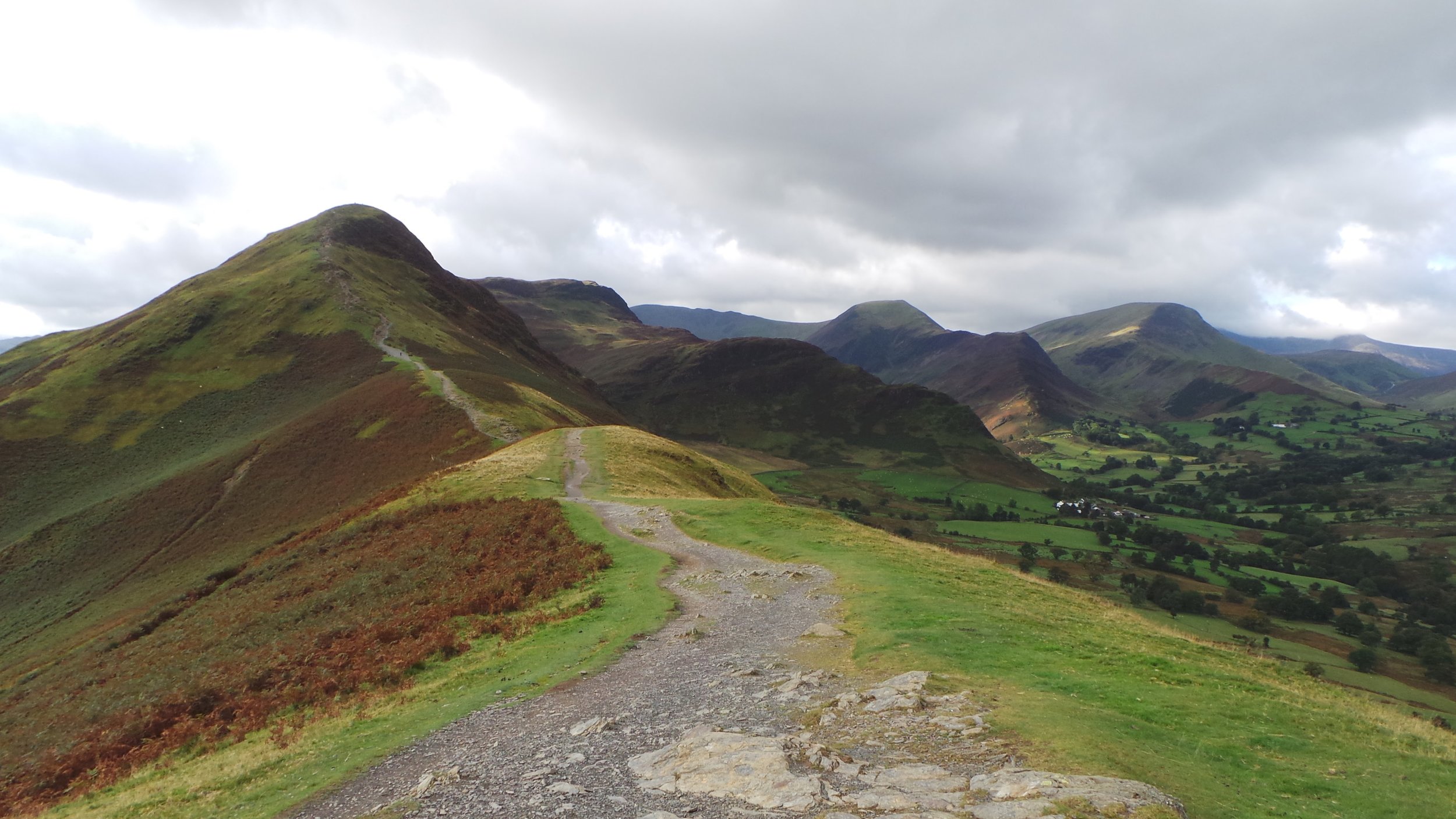
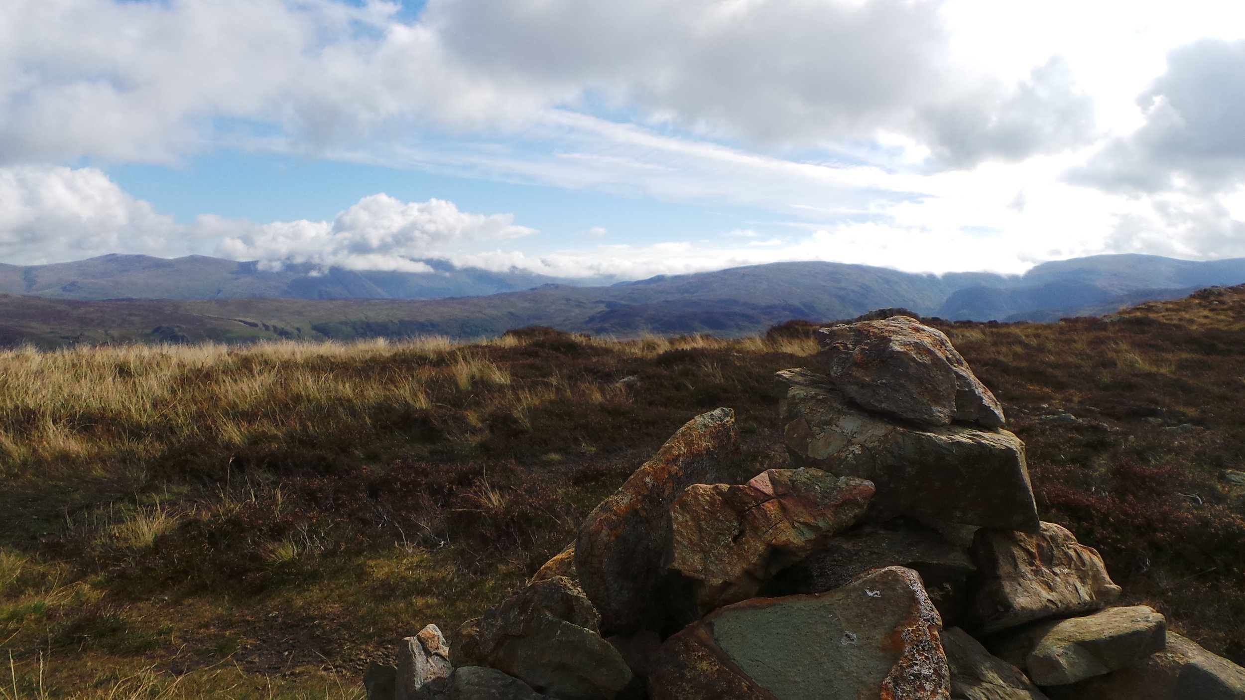
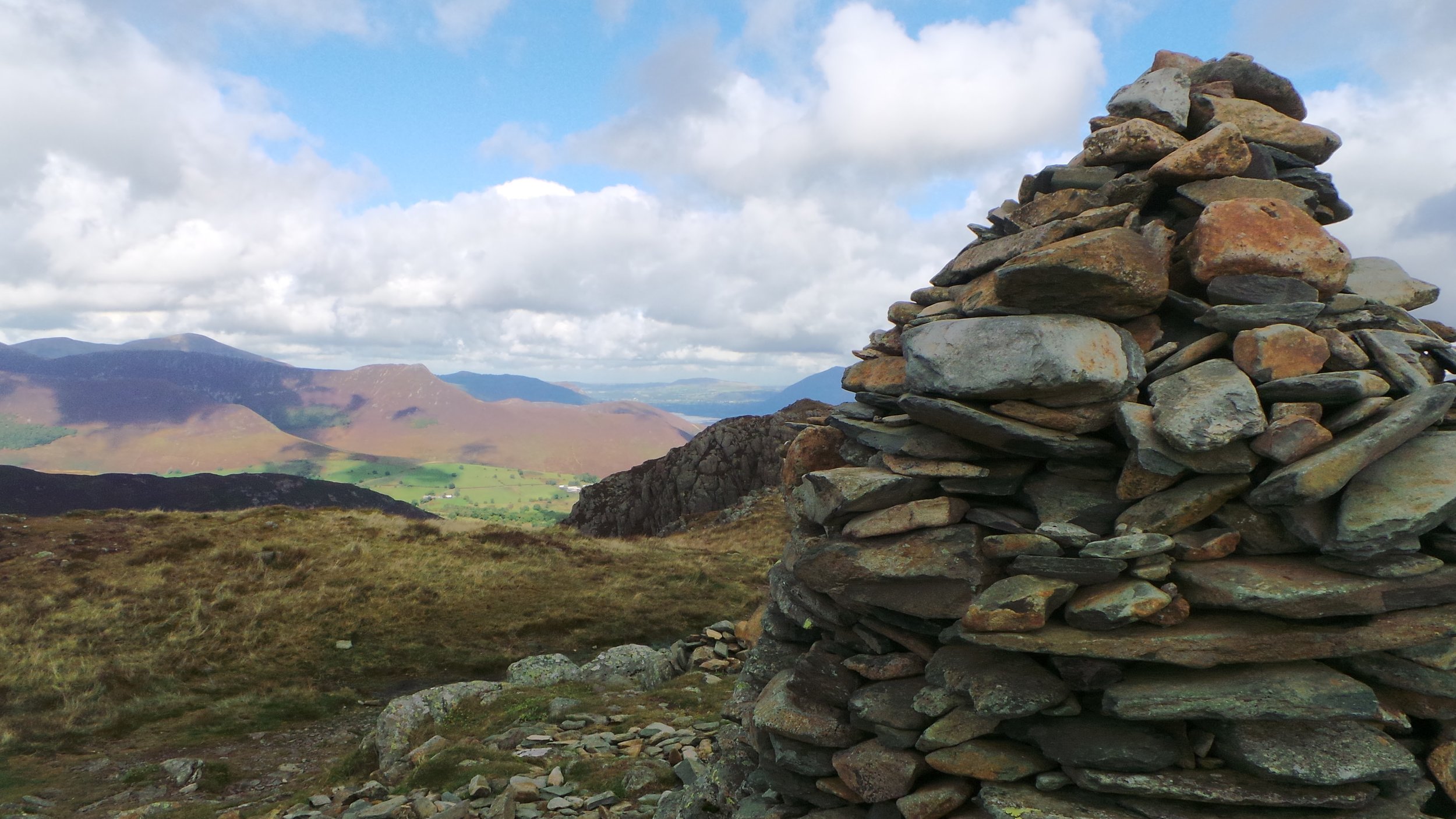
Upon deciding to press on, we carried on the way we had been heading so far with an obvious path to the next range of peaks. This walk again was pretty easy going with most of the walk done along a manmade path and with no major issues to talk of. Cairns line the way from here on, and gradually more scrambling is involved eventually getting to Maiden Moor, from here the route is again lined with cairns and takes a bit more navigating to ensure that you are on route, the scenery also drastically changes, gone are the wonderful views of Keswick and Derwent water and in its place, you get views of the surrounding mountains which are in the background of grassy plains that continue in every direction. After hitting High Spy, it becomes much more apparent that this mountainous view will continue for a long section of the walk, and dropping down the other side of High Spy reveals a much steeper and harder terrain that Catbells had to offer. The route down is steep, but mostly stepped and easily manageable, even if it is sometimes quite easy to lose the path.

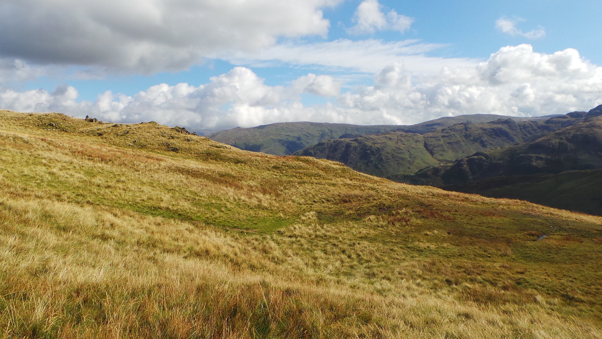
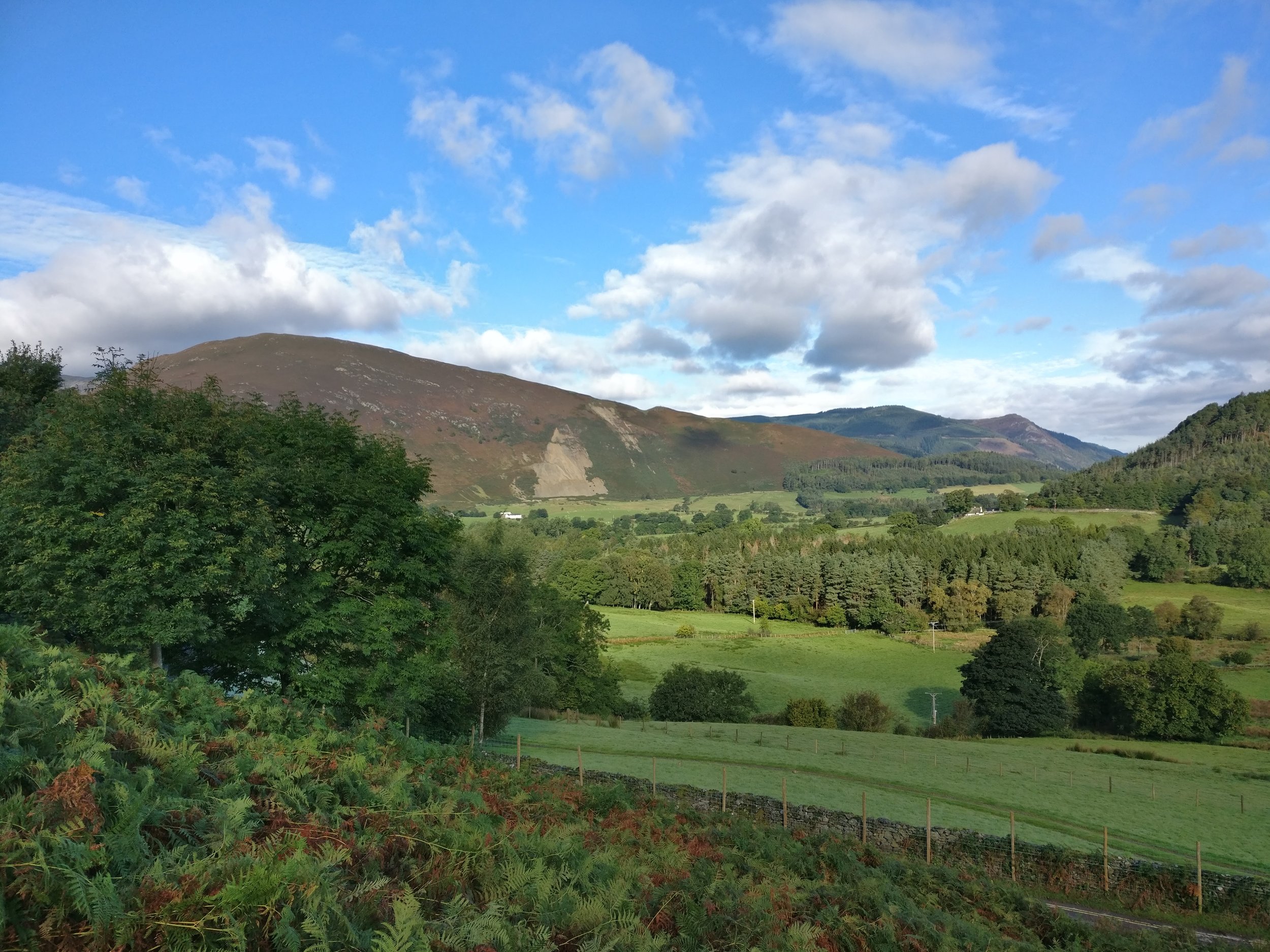
Once we had made our way down we had a couple of options, Turing right and gaining a lot of altitude to get to Dale Head, High Scawdel flanks the left-hand side or follow the path through the middle that would be much easier on the legs. Due to the fact that we would be hiking over 20K we decided adding another peak into this, especially one we needed to actually climb up towards (rather than across a ridge) we settled on the easier route between the two peaks. In hindsight this was probably our big mistake on this walk as this route was pretty much a bog and more than once we nearly lost a boot. It was also impossible to find a route through (even though this is a marked path on multiple maps) ourselves and some other walkers struggled through and essentially decided to just make our way to the best of our knowledge.
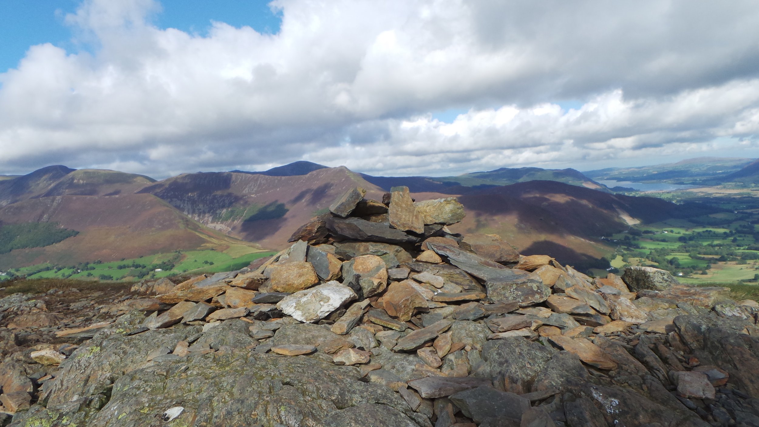
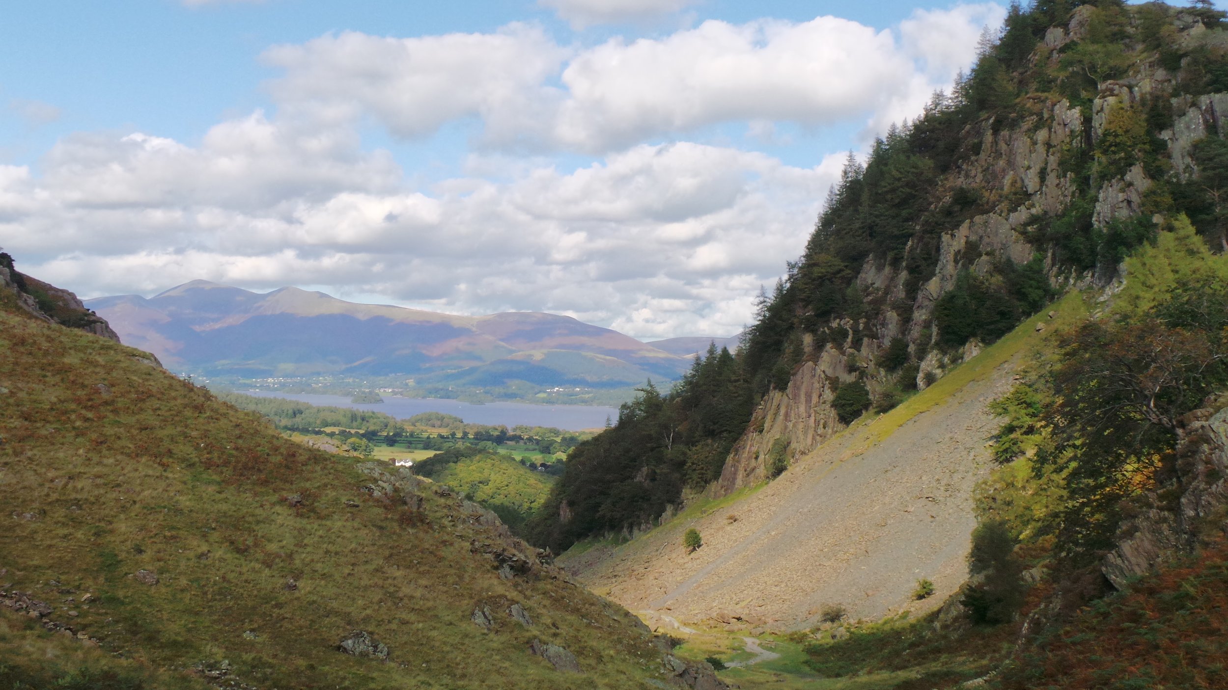
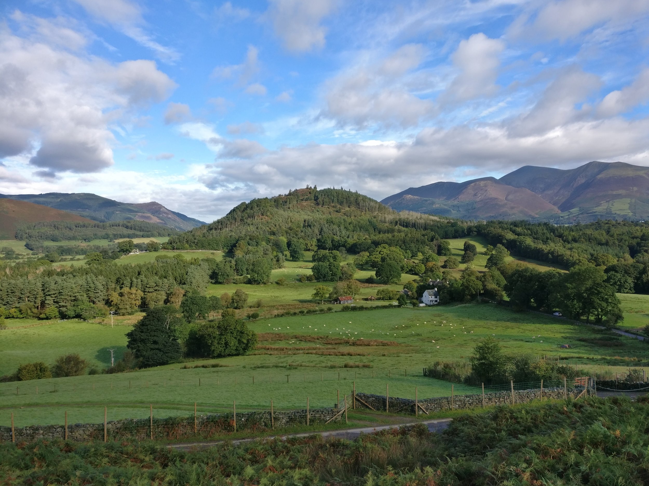
Looking back, we realised that the effort we made for ourselves through the bog would have been better served by hitting another peak, however we got through it and eventually once we got to the other side we found that the rest of the route was downhill and we could see the Honister Pass which marked (roughly) the half way point and the point at which we would head back towards the car. The route back comprised of walking on the roadside at the Honister pass, which luckily isn’t a busy road by any stretch and is also quite wide. In addition to this, not too far down this road is a bridleway which takes you through past Castle Cragg and back through towards Derwent water.
After this the route is quite straight forward, just a case of following the road between Grange and Manesty, at which point you head back up towards Catbells, however avoiding the direct path to Catbells and following the route back up towards the car park. All in all, this was a great day and a really good walk, the walk was tough but mostly due to the length and fact that a lot of the route was over some peaks. Catbells however, is definitely the highlight of this route.