Downloads: GPX File | KML File | Google Maps File | OS Online route
About Mow Cop | Parking Location | OS Map | Current Weather
We decided to settle on a walk closer to home due to bad weather in the morning when we both agreed that we hadn't been to Mow Cop for some time.
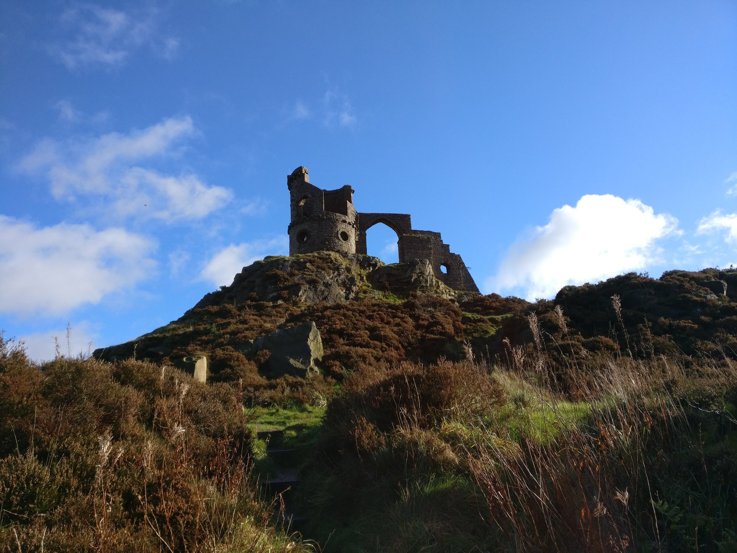
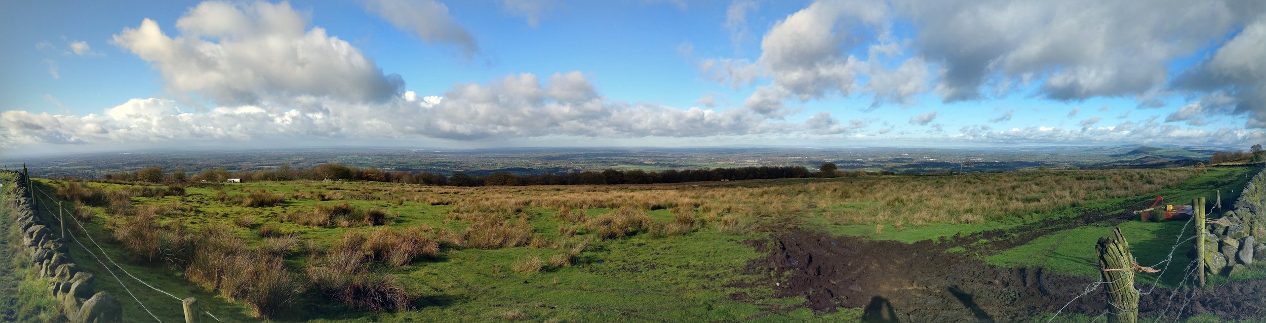
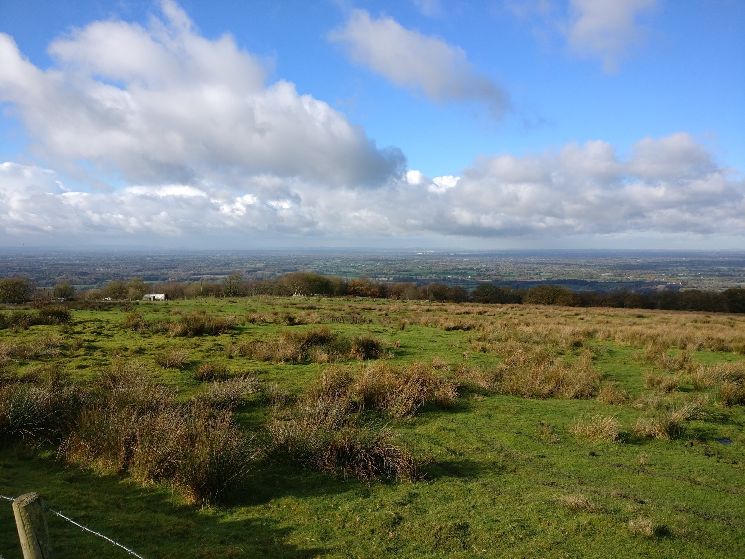
We started by parking on the castle car park and from here had a little wander up onto the castle itself to get some exceptional views of the surrounding area, as the day had cleared up we could easily see for miles around in pretty much every direction.

From the castle we headed off down a track to the far side and then along here took a path down the hill through a few fields, these were very muddy but we expected this due to the rain however a bit further down this route and we found a small forest that we headed through and this was far muddier and made getting through hear a little tricky. Once out the other end however the fields opened back up and the walk turned back down a small track and out onto a pavement alongside a quiet road. Heading down this road a little further brought us alongside the canal where we dropped down onto and completed the U turn to follow the canal past the castle (at some distance away).
Along the canal was quite a nice walk, the sun had come out and it was wide enough to get our speed up a little. We passed a few boats along the canal as well as a few other walkers and even found a place to sit and eat our sandwiches. After getting to our bridge back across the sun really began to shine and it had turned into a great day.
As we followed the path back up towards the castle, which we could easily spot in the distance to give a rough marker of how long it will take, we came across a point where I miss-read the map and rather than heading straight on through the next field we followed the road to the left. This was the first mistake as it wasn’t really a great road to be walking on and there wasn’t a huge amount of room to move over if cars came past. We found a spot just off the road where we could pull our map out and found that a little further up the road was another path that would get us back to the castle so we continued one.
Once we hit the path we had noted on the map we followed it along past a few houses and a farm and came to a small bridge, this bridge led over a river and when we passed over we found a farmer's field where there had been an electric fence put up with no obvious way to get over this. Although this is something that made the two of us turn back we did take photos to report this, upon returning to the road we found that we could carry on up a little further and then get onto a road with a path and enter the village again. Once we got to the village the rest of the way was quite clear, a small walking route led through the village and led back to the main road which we followed back towards the castle. Upon getting close to the castle, we found another side path that led around to the castle's rear where we then wandered back to our car.